Data and systems for mountain safety

Better decisions in avalanche terrain start with better data.

We are a Norwegian company working for the long term on the data, models and systems behind safer days in the mountains. Together with forecasters, guides, researchers and the alpine community, we make knowledge flow both ways.

Why we exist

The forecast is written in the evening. The decision is made at the trailhead.

Between the two sit bulletins, terrain models, observations and route descriptions, spread across formats, languages and scales. Our work is to close that gap, season after season, so the people making the call have what they need in the minutes that matter.

  1. 01

    Long-term by design

    We build infrastructure, not campaigns: shared schemas, curated datasets and models that improve with every season they run.

  2. 02

    Applied research

    We take open questions to research partners, then test the answers with guides and forecasters in the field before they reach anyone's tour plan.

  3. 03

    Shared, not hoarded

    We build on EAWS and the professional route scales, and we give observations back to the forecasters whose open data we use.

20 000+
ski-touring routes graded on professional scales
60 000+
registered users in the field with Skida
Stories from the mountain

Five people. Five decisions. One shared picture.

The same data reaches very different people. Here is what changes for each of them.

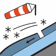
Wind slabElevation> 800 m
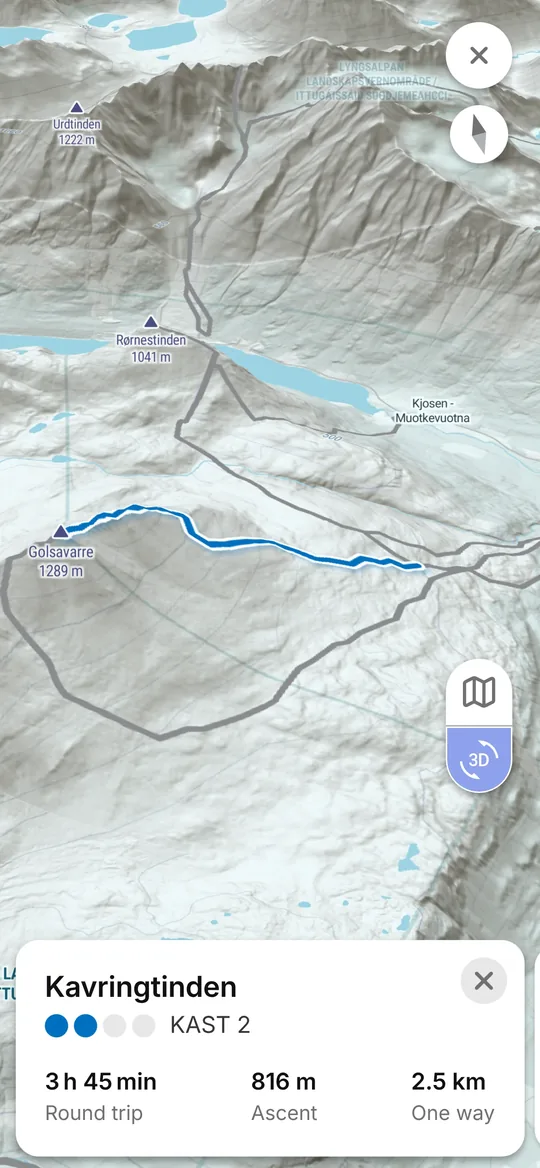
Skida app: a ski route in the 3D map with its KAST grade
The ski tourer

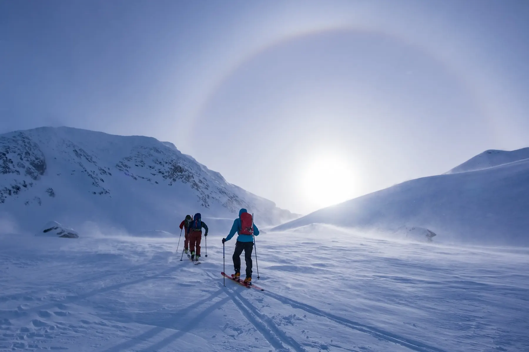
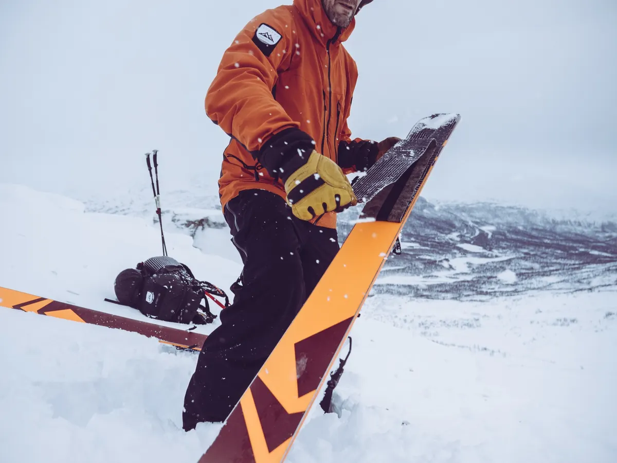
07:00 at the trailhead in Lyngen.

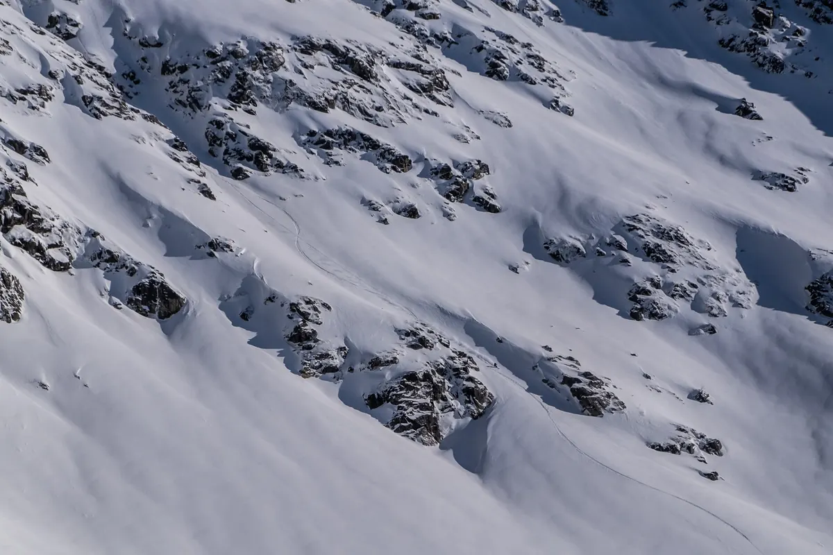
The bulletin warns of wind slab on north and east aspects above 800 metres. She opens her planned line in 3D and sees exactly which slopes face that way, how steep they are and where they run out. She swaps the couloir for the ridge, and still reaches the top.
Built onAvalanche Forecast APITerrain AnalysisSkida
AlpineD-RouteGenerated
Photo: Robert Ungh
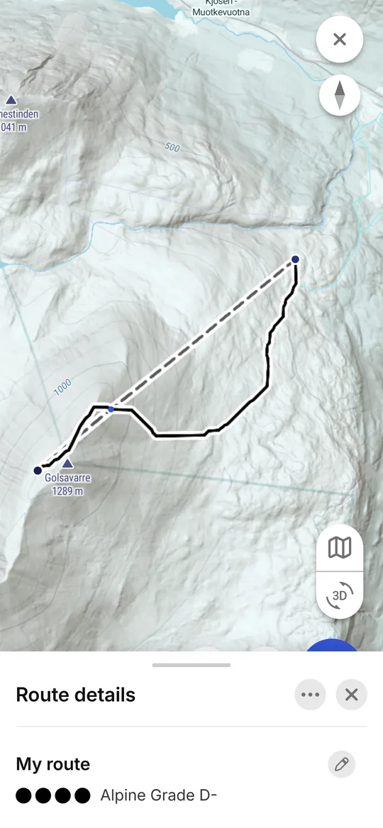
Skida app: a route generated by Alpine Autorouting from two points, graded Alpine D-
The mountain guide

Tomorrow's tour, planned the night before.

Six clients, and a forecast that rules out the usual line. The guide sets a start and a summit, Alpine Autorouting draws a route through the terrain and grades it, and she adjusts it with what she knows about the valley. The plan goes to the clients that evening, so the morning briefing starts from the same map.
Built onAlpine AutoroutingRoute ClassificationSkida PRO
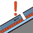
Persistent weak layerHand hardness4FICSSGFaceted
Photo: Robert Ungh
The avalanche forecaster

More eyes in the field than any service could staff.

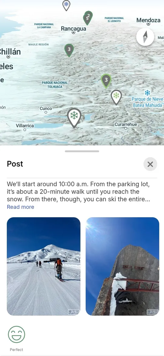
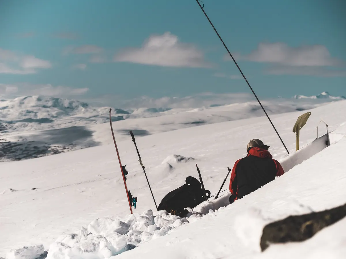
A forecasting service covers a large region with a handful of observers. Through our Partner API, snow and avalanche observations from skiers and guides arrive geolocated and in a standard format, ready for the evening's forecast. Avalanche services in Italy and Andorra are already exploring them.

Built onMountain ObservationsThe knowledge loop
The avalanche instructor

When the storm keeps the course indoors.

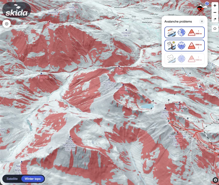
The field day is cancelled. The instructor puts the bulletin's avalanche problems on the 3D map and switches them on and off, one at a time, so the students see where a wind slab would sit and why one aspect matters more than the rest. Words, numbers and icons turn into terrain.

Built onDigital Avalanche Training
TOPONEIGE4.2SACZSATES2 Challenging
The research partner

One dataset, three regions, comparable answers.

A research group needs routes and terrain classified the same way in Norway, the Alps and New Zealand. Instead of building that from scratch, they work from our routes and terrain models, and what they learn flows back into how we grade routes.

Built onSki Touring DatabaseTerrain AnalysisApplied research
How the ecosystem works

Open data in. Better forecasts out.

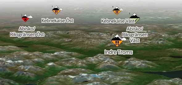
We started by giving people better tools for faster, better-informed decisions in the mountains. As the community grew, so did the value of what it shares, and forecasters saw it too. So in return for their open data, we give avalanche forecasting institutions the observations our users report.

  1. 01

    Forecasters publish

    Avalanche services share their bulletins as open data.

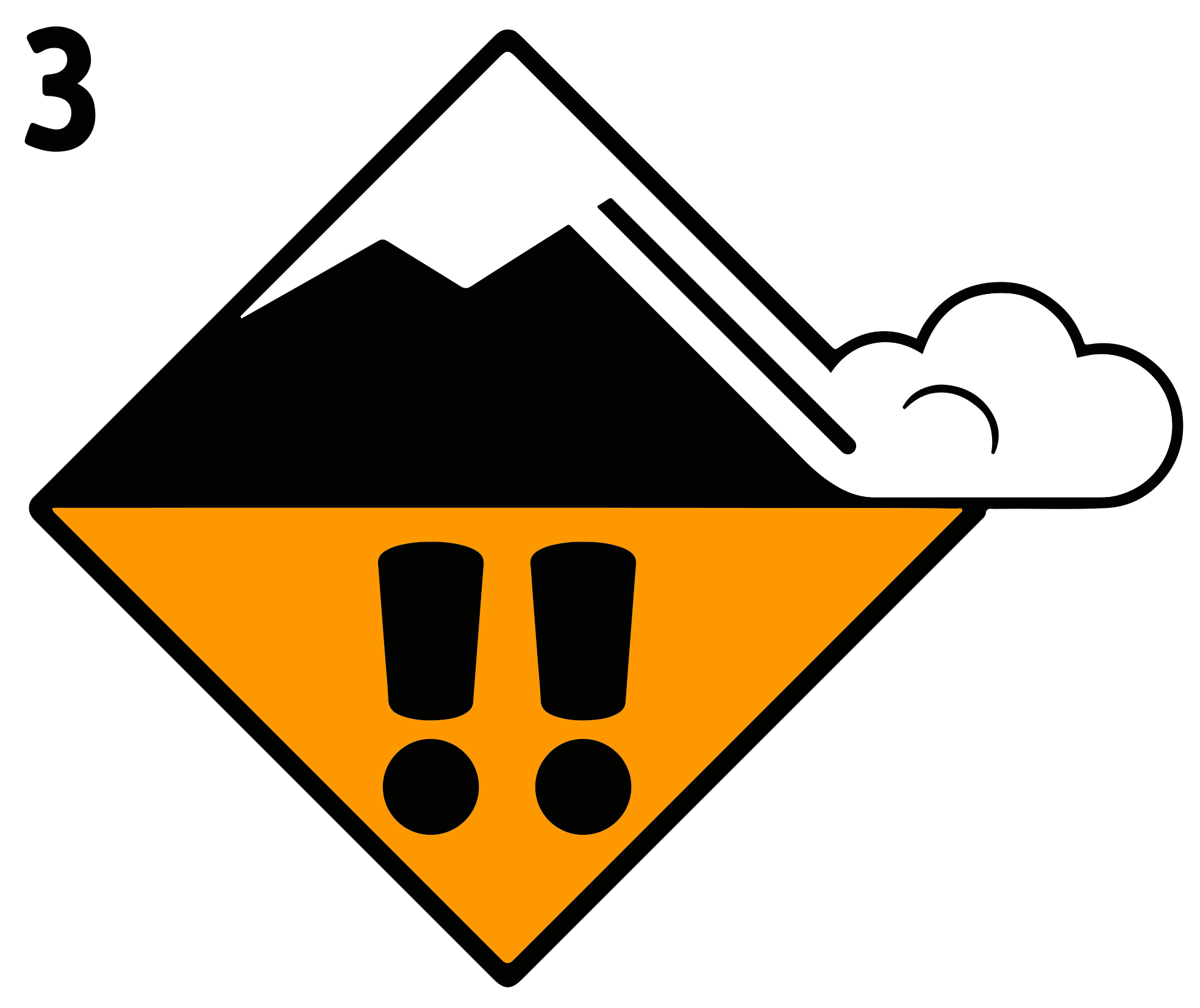
    EAWS danger level 3 icon
  2. 02

    We make it usable

    Bulletins, terrain and routes become one picture, in our APIs and in Skida.

    Skida app icon
  3. 03

    The community observes

    Skiers and guides report snow and avalanche observations.

    Persistent weak layer
  4. 04

    We give it back

    Observations flow to forecasters and inform tomorrow's bulletin. Avalanche services in Italy and Andorra are already exploring them.

    ↺ back to 01
Applied research

We work on the hard questions, then take the answers into the field.

Most of what we ship started as a research question. We work on them over several seasons with research partners and public funding, and we test the results with guides and forecasters before they go live.

Research track 01

Can software grade a route the way a guide would?

Automatic grading on TOPONEIGE, SAC and alpine scales, checked against routes written by mountain professionals.

Now in useRoute Classification across 20 000+ routes
Research track 02

Can a model draw a sensible line through alpine terrain?

Routing on a high-resolution terrain model, using slope angle, aspect, elevation and terrain traps. The skier or guide still decides.

Now in useAlpine Autorouting by API, in Skida and Skida PRO
Research track 03

Can observations from the public improve the forecast?

Structured snow and avalanche observations, in a format forecasters can use, shared through a Partner API.

Now in useMountain Observations explored by services in Italy and Andorra
Supported by

Our research is supported by public programmes for innovation and research.

The Research Council of NorwayInnovation NorwayESA BIC Norway
Partners

Nobody makes the mountains safer alone.

We work with the people who know the mountains best, and each partnership changes what we build.

Guide companies

They run our tools on real trips with real clients, and tell us where they fall short.

KMX (Klättermusen Experiences)
Tromsø Powder Guides
Wānaka Mountain Guides
Off Piste Performance

Forecasting and safety

We build on their open bulletins, standards and safety work, and give observations back where they want them.

VarsomAvalanche CanadaSkitourenguruMountain Safety Collective

Open data sources

Public terrain and map data from mapping agencies make our models possible. We credit them wherever we use it.

KartverketswisstopoToitū Te Whenua – LINZNVE

See all partners, data sources and friends

What we build

Data, tools and training, wherever the work happens.

For platforms and services

Data & APIs

  • Avalanche Forecast APIEvery bulletin, one schema
  • Mountain ObservationsPartner API
  • Terrain AnalysisHigh-res DEM
  • Route ClassificationTOPONEIGE · SAC · alpine
  • Ski Touring Database20 000+ routes
  • Alpine AutoroutingNewBy API
Request API access
Skida 3D map with the avalanche problem layer: slopes where the bulletin's problems apply are shaded red, beside a panel of the day's avalanche problems
For resorts, events and courses

Studio & training

  • Terrain StudioFilms and maps
  • Digital Avalanche TrainingFor instructors
  • Custom projectsOn request
Talk to us about a project
For skiers and guides
  • SkidaFor ski tourers
  • Skida PROFor guide companies and schools

Our own apps, where the data meets the day's plan. Skida is made by Mountainsnow.

We speak the standards.

We build on the scales guides, forecasters and rescue teams already use, rather than inventing our own. A shared language is part of the safety work.

EAWSDanger scale 1–5ATESTerrainKASTTerrengTOPONEIGE1–5.6SACL–EXIFASF–EDICSSGSnow profiles
Work with us

Let's build it together.

Tell us what you are working on. The best things we have built started with a partner's problem.

Avalanche services

Receive observations

Get geolocated snow and avalanche observations in a standard format, in return for your open bulletin data.

Start a conversation
Guide companies and schools

See Skida PRO

Plan, brief and run trips with your team on 20 000+ professional routes.

Book a demo
Research and platforms

Use our data

APIs, datasets and research collaboration on terrain, routes and avalanche data.

Request API access